
大观公园 topographic map
Interactive map
Click on the map to display elevation.
About this map
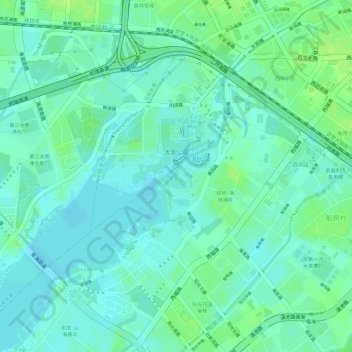
Name: 大观公园 topographic map, elevation, terrain.
Location: 大观公园, 棕树营街道, 西山区, 昆明市, 云南省, 中国 (25.01947 102.66617 25.02953 102.67599)
Average elevation: 6,207 ft
Minimum elevation: 6,184 ft
Maximum elevation: 6,234 ft
Other topographic maps
Click on a map to view its topography, its elevation and its terrain.