
金碧街道 topographic map
Interactive map
Click on the map to display elevation.
About this map
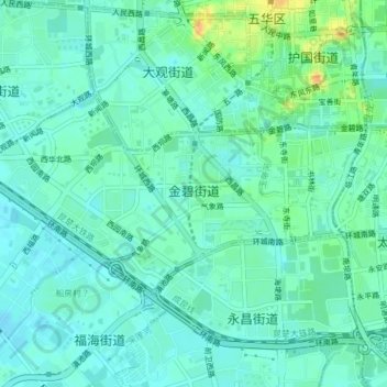
Name: 金碧街道 topographic map, elevation, terrain.
Location: 金碧街道, 西山区, 云南省, 中国 (25.02113 102.67690 25.03961 102.71575)
Average elevation: 6,224 ft
Minimum elevation: 6,194 ft
Maximum elevation: 6,306 ft
Other topographic maps
Click on a map to view its topography, its elevation and its terrain.