
Howe Island topographic map
Click on the map to display elevation.
About this map
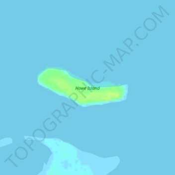
Name: Howe Island topographic map, elevation, terrain.
Location: Howe Island, North Slope, Alaska, United States (70.31232 -148.00347 70.31825 -147.96204)
Average elevation: 0 ft
Minimum elevation: -3 ft
Maximum elevation: 36 ft
North Slope trails, hiking, mountain biking, running and outdoor activities
Other topographic maps
Click on a map to view its topography, its elevation and its terrain.
Atqasuk
United States > Alaska > North Slope
Atqasuk has one airport, Atqasuk Edward Burnell Sr. Memorial Airport, that is uncontrolled and has a single 4,370-by-90-foot (1,332 by 27 m) runway at an elevation of 96 feet (29 m).
Average elevation: 66 ft
Deadhorse
United States > Alaska > North Slope
In February 2023, a "high altitude object" about the size of a small car was shot down near the area after a decision by President Joe Biden.
Average elevation: 49 ft