Geolocate

Ashtarak topographic map

Click on the map to display elevation.

About this map

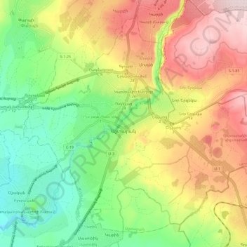
Name: Ashtarak topographic map, elevation, terrain.

Location: Ashtarak, Ashtarak region, Aragatsotn Province, Armenia (40.25247 44.31498 40.32953 44.42943)

Average elevation: 3,842 ft

Minimum elevation: 3,255 ft

Maximum elevation: 4,577 ft

Other topographic maps

Click on a map to view its topography, its elevation and its terrain.

Sipan

Armenia > Aragatsotn Province

Average elevation: 7,208 ft

Byurakan

Armenia > Aragatsotn Province

Average elevation: 4,823 ft

Aragatsotn

Armenia > Aragatsotn Province > Aragatsotn

Average elevation: 3,533 ft

Ashtarak

Armenia > Aragatsotn Province > Ashtarak

Average elevation: 3,822 ft

Gear up for your next adventure:

🪶Fire Starter Kit - Reliable fire starter for survival and camping
🪓Survival Multi‑Tool - Versatile tool for camp and trail tasks
📷Action Camera - Capture your outdoor adventures in HD
👖Convertible Hiking Pants - Versatile zip-off pants for changing altitudes and temperatures
🧯Portable Fire Pit - Compact fire pit for camping spots

As an Amazon Associate, this site earns from qualifying purchases at no extra cost to you.