Geolocate

Round Top topographic map

Click on the map to display elevation.

About this map

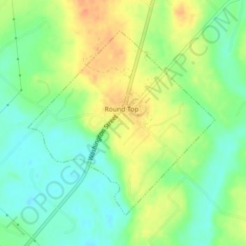
Name: Round Top topographic map, elevation, terrain.

Location: Round Top, Fayette County, Texas, United States (30.05354 -96.70801 30.07380 -96.68419)

Average elevation: 390 ft

Minimum elevation: 328 ft

Maximum elevation: 469 ft

Fayette County trails, hiking, mountain biking, running and outdoor activities

Other topographic maps

Click on a map to view its topography, its elevation and its terrain.

Cedar Creek Dam

United States > Texas > Fayette County > Tamberg

Average elevation: 371 ft

Ledbetter

United States > Texas > Fayette County

Average elevation: 420 ft

Warda

United States > Texas > Fayette County

Average elevation: 348 ft

Freyburg

United States > Texas > Fayette County

Average elevation: 374 ft

Muldoon

United States > Texas > Fayette County

Average elevation: 341 ft

Gear up for your next adventure:

🏔️Mountain Trail Maps - High‑detail maps for popular peaks
📡GPS Antenna Upgrade - Enhance GPS reception in remote terrain
🪶Compact Camp Shovel - Folding shovel for campsite tasks
🎒Day Hiking Backpack - Lightweight backpack perfect for day trips and outdoor adventures
🧥Waterproof Jacket for Hiking - Breathable and rugged rain jacket for outdoor excursions

As an Amazon Associate, this site earns from qualifying purchases at no extra cost to you.