
Springtown topographic map
Click on the map to display elevation.
About this map
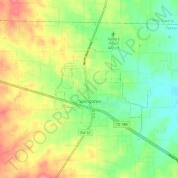
Name: Springtown topographic map, elevation, terrain.
Location: Springtown, Parker County, Texas, 76082, United States (32.93820 -97.72018 33.00296 -97.63745)
Average elevation: 896 ft
Minimum elevation: 778 ft
Maximum elevation: 1,047 ft
Parker County trails, hiking, mountain biking, running and outdoor activities
Other topographic maps
Click on a map to view its topography, its elevation and its terrain.