
Palomar topographic map
Click on the map to display elevation.
About this map
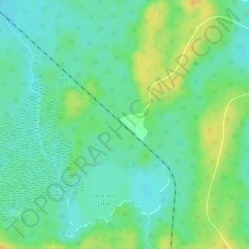
Name: Palomar topographic map, elevation, terrain.
Average elevation: 1,161 ft
Minimum elevation: 1,129 ft
Maximum elevation: 1,214 ft
Other topographic maps
Click on a map to view its topography, its elevation and its terrain.
Kipawa Lake
Canada > Ontario > Sudbury District > Unorganized North Sudbury
Average elevation: 1,512 ft
Hubbard Creek
Canada > Ontario > Sudbury District > Unorganized North Sudbury
Average elevation: 1,499 ft
Portal Lake
Canada > Ontario > Sudbury District > Unorganized North Sudbury
Average elevation: 1,460 ft
Demott Lake
Canada > Ontario > Sudbury District > Unorganized North Sudbury
Average elevation: 1,293 ft
Chiniguchi River
Canada > Ontario > Sudbury District > Unorganized North Sudbury
Average elevation: 853 ft