
铁西区 topographic map
Interactive map
Click on the map to display elevation.
About this map
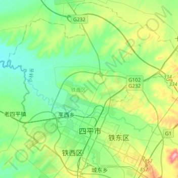
Name: 铁西区 topographic map, elevation, terrain.
Location: 铁西区, 四平市, 吉林省, 中国 (43.12204 124.25343 43.29419 124.49598)
Average elevation: 587 ft
Minimum elevation: 463 ft
Maximum elevation: 912 ft
Other topographic maps
Click on a map to view its topography, its elevation and its terrain.