
四平市 topographic map
Interactive map
Click on the map to display elevation.
About this map
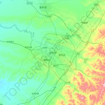
Name: 四平市 topographic map, elevation, terrain.
Location: 四平市, 铁西区, 四平市, 吉林省, 中国 (43.00698 124.20474 43.32698 124.52474)
Average elevation: 633 ft
Minimum elevation: 394 ft
Maximum elevation: 1,394 ft
Other topographic maps
Click on a map to view its topography, its elevation and its terrain.