
双辽市 topographic map
Interactive map
Click on the map to display elevation.
About this map
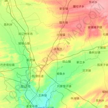
Name: 双辽市 topographic map, elevation, terrain.
Location: 双辽市, 四平市, 吉林省, 中国 (43.36391 123.29810 44.10824 124.07856)
Average elevation: 495 ft
Minimum elevation: 358 ft
Maximum elevation: 810 ft
Other topographic maps
Click on a map to view its topography, its elevation and its terrain.