
Gwangsan-gu topographic map
Interactive map
Click on the map to display elevation.
About this map
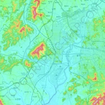
Name: Gwangsan-gu topographic map, elevation, terrain.
Location: Gwangsan-gu, Gwangju, South Korea (35.07018 126.64445 35.25888 126.86041)
Average elevation: 167 ft
Minimum elevation: 7 ft
Maximum elevation: 1,089 ft
Other topographic maps
Click on a map to view its topography, its elevation and its terrain.