Geolocate

Gipsy topographic map

Click on the map to display elevation.

About this map

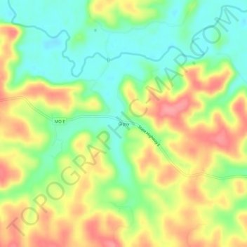
Name: Gipsy topographic map, elevation, terrain.

Location: Gipsy, Bollinger County, Missouri, 63750, United States (37.12700 -90.19955 37.16700 -90.15955)

Average elevation: 495 ft

Minimum elevation: 364 ft

Maximum elevation: 646 ft

Bollinger County trails, hiking, mountain biking, running and outdoor activities

Other topographic maps

Click on a map to view its topography, its elevation and its terrain.

Zalma

United States > Missouri > Bollinger County

Average elevation: 404 ft

Sedgewickville

United States > Missouri > Bollinger County

Average elevation: 614 ft

Glen Allen

United States > Missouri > Bollinger County

Average elevation: 525 ft

Gear up for your next adventure:

🚁Photography Drones - Capture stunning aerial views of landforms and topography
🔦Compact Flashlight - Reliable flashlight for emergencies
📻Weather Alert Radios - Stay informed of storm risks while off-the-grid
🧭Outdoor Navigation Book - Learn advanced navigation skills
🩹Survival Bandages - High‑quality bandages for emergencies

As an Amazon Associate, this site earns from qualifying purchases at no extra cost to you.