
Jabal al Girn topographic map
Interactive map
Click on the map to display elevation.
About this map
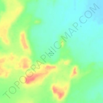
Name: Jabal al Girn topographic map, elevation, terrain.
Location: Jabal al Girn, Norden, Sudan (19.79995 28.66662 19.80005 28.66672)
Average elevation: 1,175 ft
Minimum elevation: 1,093 ft
Maximum elevation: 1,283 ft
Other topographic maps
Click on a map to view its topography, its elevation and its terrain.
Lake Nasser
Sudan > Norden > Wadi Halfa
Lake Nasser, أ 1, Wadi Halfa, Norden, Sudan
Average elevation: 597 ft