Geolocate

Lac Rueckwald topographic map

Click on the map to display elevation.

👉 Easily get elevation data in JSON, GeoTIFF and KML formats using Elevation API
Thank you for supporting this site ❤️
Make a donation

About this map

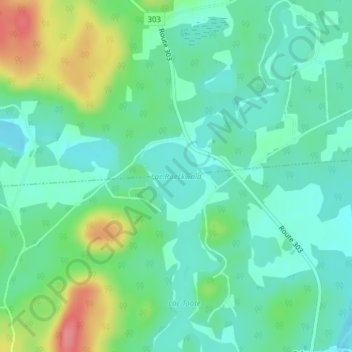
Name: Lac Rueckwald topographic map, elevation, terrain.

Location: Lac Rueckwald, Thorne, Pontiac, Outaouais, Quebec, Canada (45.81797 -76.38401 45.82312 -76.37624)

Average elevation: 732 ft

Minimum elevation: 650 ft

Maximum elevation: 928 ft

Other topographic maps

Click on a map to view its topography, its elevation and its terrain.

Greer Mount

Canada > Quebec > Pontiac > Thorne

Average elevation: 856 ft

Gear up for your next adventure:

📦Dry Bags Set - Waterproof storage for electronics and clothes
📻Weather Alert Radios - Stay informed of storm risks while off-the-grid
🖼️Topo Map Wall Art - Decorative topographic prints of famous peaks and regions
🏕️Tent Footprint - Protect your tent base from wear
📷Action Camera - Capture your outdoor adventures in HD

As an Amazon Associate, this site earns from qualifying purchases at no extra cost to you.