Geolocate

Greer Mount topographic map

Click on the map to display elevation.

About this map

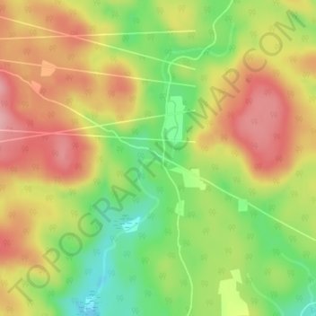
Name: Greer Mount topographic map, elevation, terrain.

Location: Greer Mount, Thorne, Pontiac, Outaouais, Quebec, Canada (45.74745 -76.47938 45.76745 -76.45938)

Average elevation: 856 ft

Minimum elevation: 610 ft

Maximum elevation: 1,076 ft

Other topographic maps

Click on a map to view its topography, its elevation and its terrain.

Lac Rueckwald

Canada > Quebec > Pontiac > Thorne

Average elevation: 732 ft

Gear up for your next adventure:

🪶Trail Camera - Capture wildlife on your hikes
🎒Gear Packing Cubes - Organize your backpack efficiently
📱Solar Portable Charger - Solar power bank for charging devices off‑grid
GPS Sports Watch - GPS watch for running, hiking and training
🧭Pro Hiking Compasses - High-accuracy liquid-filled compasses for topographic orientation

As an Amazon Associate, this site earns from qualifying purchases at no extra cost to you.