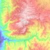
Zarqa River topographic map
Click on the map to display elevation.
Zarqa River
The Zarqa River (Arabic: نهر الزرقاء, Nahr az-Zarqāʾ, lit. "the River of the Blue [City]") is the second largest tributary of the lower Jordan River, after the Yarmouk River. It is the third largest river in the region by annual discharge and its watershed encompasses the most densely populated areas east of the Jordan River. The Zarqa rises in springs near Amman, and flows through a deep and broad valley into the Jordan, at an elevation 1,090 metres (3,580 ft) lower.
About this map
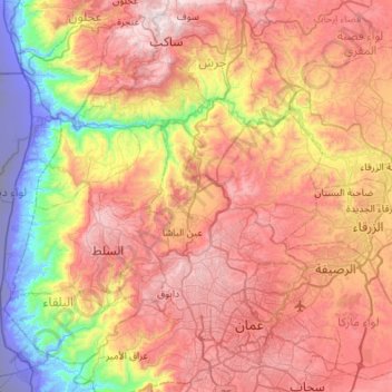
Name: Zarqa River topographic map, elevation, terrain.
Location: Zarqa River, Jarash, Jordan (31.98667 35.54332 32.21824 36.08657)
Average elevation: 1,916 ft
Minimum elevation: -1,027 ft
Maximum elevation: 4,088 ft
Other topographic maps
Click on a map to view its topography, its elevation and its terrain.