
嵩县 topographic map
Interactive map
Click on the map to display elevation.
About this map
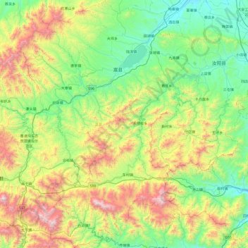
Name: 嵩县 topographic map, elevation, terrain.
Location: 嵩县, 洛阳市, 河南省, 中国 (33.56382 111.70417 34.34668 112.37111)
Average elevation: 2,536 ft
Minimum elevation: 709 ft
Maximum elevation: 7,057 ft
Other topographic maps
Click on a map to view its topography, its elevation and its terrain.