
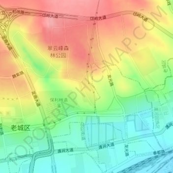
上清宫森林公园 topographic map
Interactive map
Click on the map to display elevation.
About this map
Name: 上清宫森林公园 topographic map, elevation, terrain.
Location: 上清宫森林公园, 邙山街道, 老城区, 洛阳市, 河南省, 中国 (34.70232 112.44940 34.70828 112.45513)
Average elevation: 646 ft
Minimum elevation: 479 ft
Maximum elevation: 823 ft
Other topographic maps
Click on a map to view its topography, its elevation and its terrain.