
宜阳县 topographic map
Interactive map
Click on the map to display elevation.
About this map
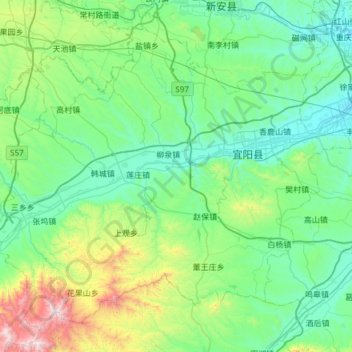
Name: 宜阳县 topographic map, elevation, terrain.
Location: 宜阳县, 洛阳市, 河南省, 中国 (34.27167 111.74513 34.69879 112.34832)
Average elevation: 1,476 ft
Minimum elevation: 515 ft
Maximum elevation: 5,794 ft
Other topographic maps
Click on a map to view its topography, its elevation and its terrain.