
Gilmore topographic map
Click on the map to display elevation.
About this map
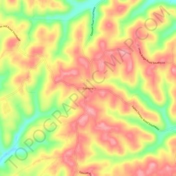
Name: Gilmore topographic map, elevation, terrain.
Location: Gilmore, Tuscarawas County, Ohio, 43837, United States (40.27090 -81.46039 40.31090 -81.42039)
Average elevation: 1,119 ft
Minimum elevation: 873 ft
Maximum elevation: 1,276 ft
Tuscarawas County trails, hiking, mountain biking, running and outdoor activities
Other topographic maps
Click on a map to view its topography, its elevation and its terrain.