
Snare Lake topographic map
Click on the map to display elevation.
About this map
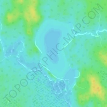
Name: Snare Lake topographic map, elevation, terrain.
Average elevation: 984 ft
Minimum elevation: 965 ft
Maximum elevation: 1,037 ft
Other topographic maps
Click on a map to view its topography, its elevation and its terrain.
Nipin Lake
Canada > Ontario > Cochrane District > Unorganized North Cochrane
Average elevation: 863 ft
Ghost Lake;Pearce Creek
Canada > Ontario > Cochrane District > Unorganized North Cochrane
Average elevation: 699 ft
The Canyon
Canada > Ontario > Cochrane District > Unorganized North Cochrane
Average elevation: 827 ft