

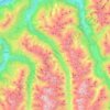
Sölden topographic map
Click on the map to display elevation.
Sölden
The main village of Sölden is at an elevation of 1,368 metres (4,488 ft) above sea level, and the upper village of Hochsölden at 2,090 m (6,857 ft) has 5 four-star hotels. The highest peak is the Wildspitze, at 3,768 m (12,362 ft), the second highest mountain in Austria, after the Großglockner.
About this map
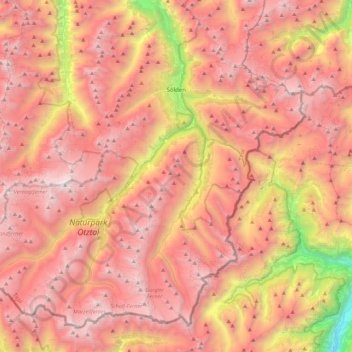
Name: Sölden topographic map, elevation, terrain.
Location: Sölden, Bezirk Imst, Tyrol, Austria (46.76285 10.72600 47.02222 11.16813)
Average elevation: 8,146 ft
Minimum elevation: 1,637 ft
Maximum elevation: 12,224 ft
Other topographic maps
Click on a map to view its topography, its elevation and its terrain.

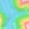
Oberlängenfeld
Austria > Tyrol > Bezirk Imst > Gemeinde Längenfeld > Längenfeld
Average elevation: 5,197 ft
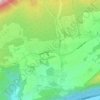
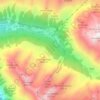
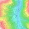
Unterlängenfeld
Austria > Tyrol > Bezirk Imst > Gemeinde Längenfeld > Längenfeld
Average elevation: 5,217 ft