
Silverado topographic map
Click on the map to display elevation.
About this map
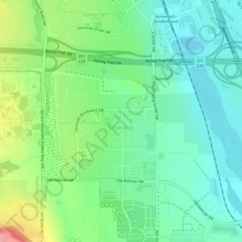
Name: Silverado topographic map, elevation, terrain.
Location: Silverado, Calgary, Alberta, Canada (50.87212 -114.09407 50.89279 -114.04398)
Average elevation: 3,520 ft
Minimum elevation: 3,406 ft
Maximum elevation: 3,809 ft
Other topographic maps
Click on a map to view its topography, its elevation and its terrain.
Nose Hill Park
Names currently associated with topographical features in and near Nose Hill Park reflect the impact of the European newcomers and European trade goods on the Peigan. For example, Spy Hill, the westward extension of Nose Hill, derived its present name from the aboriginal practice of communicating with distant…
Average elevation: 3,852 ft