
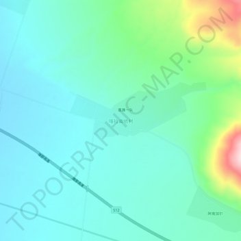
喀拉奥依村 topographic map
Interactive map
Click on the map to display elevation.
About this map
Name: 喀拉奥依村 topographic map, elevation, terrain.
Location: 喀拉奥依村, 新源县, 伊犁哈萨克自治州, 新疆维吾尔自治区, 中国 (43.33740 84.01120 43.37740 84.05120)
Average elevation: 4,662 ft
Minimum elevation: 4,452 ft
Maximum elevation: 5,469 ft
Other topographic maps
Click on a map to view its topography, its elevation and its terrain.