
那拉提镇 topographic map
Interactive map
Click on the map to display elevation.
About this map
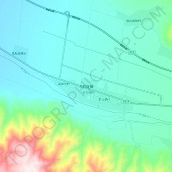
Name: 那拉提镇 topographic map, elevation, terrain.
Location: 那拉提镇, 新源县, 伊犁哈萨克自治州, 新疆维吾尔自治区, 中国 (43.28680 83.96095 43.36680 84.04095)
Average elevation: 4,790 ft
Minimum elevation: 4,262 ft
Maximum elevation: 6,929 ft
Other topographic maps
Click on a map to view its topography, its elevation and its terrain.