
新源县 topographic map
Interactive map
Click on the map to display elevation.
About this map
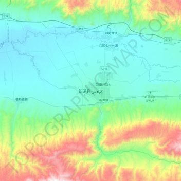
Name: 新源县 topographic map, elevation, terrain.
Location: 新源县, 伊犁哈萨克自治州, 新疆维吾尔自治区, 中国 (43.27259 83.06767 43.59259 83.38767)
Average elevation: 3,983 ft
Minimum elevation: 2,664 ft
Maximum elevation: 8,478 ft
Other topographic maps
Click on a map to view its topography, its elevation and its terrain.