
陈塘镇 topographic map
Interactive map
Click on the map to display elevation.
About this map
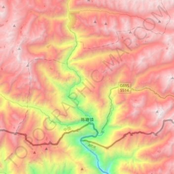
Name: 陈塘镇 topographic map, elevation, terrain.
Location: 陈塘镇, 定结县, 日喀则市, 西藏自治区, 中国 (27.82224 87.28741 28.01369 87.59914)
Average elevation: 13,123 ft
Minimum elevation: 6,053 ft
Maximum elevation: 17,841 ft
Other topographic maps
Click on a map to view its topography, its elevation and its terrain.