
江嘎镇 topographic map
Interactive map
Click on the map to display elevation.
About this map
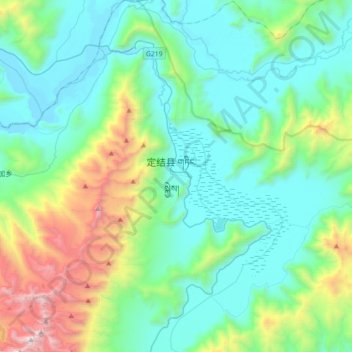
Name: 江嘎镇 topographic map, elevation, terrain.
Location: 江嘎镇, 定结县, 日喀则市, 西藏自治区, 中国 (28.21037 87.67064 28.52173 87.99351)
Average elevation: 15,223 ft
Minimum elevation: 13,599 ft
Maximum elevation: 21,220 ft
Other topographic maps
Click on a map to view its topography, its elevation and its terrain.