
日屋镇 topographic map
Interactive map
Click on the map to display elevation.
About this map
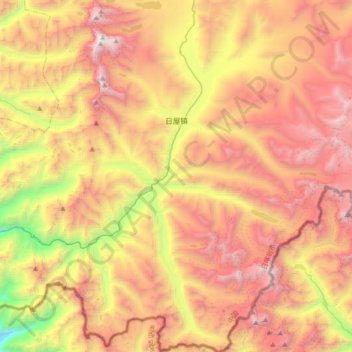
Name: 日屋镇 topographic map, elevation, terrain.
Location: 日屋镇, 定结县, 日喀则市, 西藏自治区, 中国 (27.80547 87.54464 28.11819 87.88120)
Average elevation: 16,683 ft
Minimum elevation: 11,093 ft
Maximum elevation: 21,565 ft
Other topographic maps
Click on a map to view its topography, its elevation and its terrain.