
Hihya City topographic map
Interactive map
Click on the map to display elevation.
About this map
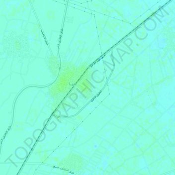
Name: Hihya City topographic map, elevation, terrain.
Location: Hihya City, Eastern, 44741, Egypt (30.64999 31.56085 30.68845 31.61239)
Average elevation: 26 ft
Minimum elevation: 16 ft
Maximum elevation: 39 ft
Other topographic maps
Click on a map to view its topography, its elevation and its terrain.
Manshiyat al Sawamah
Manshiyat al Sawamah, Eastern, 44768, Egypt
Average elevation: 20 ft
Abu Hammad al Mahattah
Abu Hammad al Mahattah, Eastern, 44661, Egypt
Average elevation: 30 ft