Geolocate

Ramirez topographic map

Click on the map to display elevation.

About this map

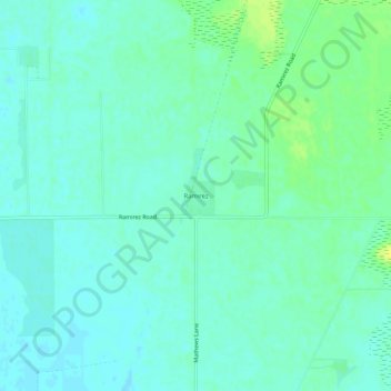
Name: Ramirez topographic map, elevation, terrain.

Location: Ramirez, Yuba County, California, United States (39.24739 -121.55886 39.28739 -121.51886)

Average elevation: 92 ft

Minimum elevation: 72 ft

Maximum elevation: 131 ft

Other topographic maps

Click on a map to view its topography, its elevation and its terrain.

Yuba River

United States > California > Yuba County > Marysville

Average elevation: 75 ft

Beale AFB

United States > California > Yuba County

On 15 October 1964, the Department of Defense announced that Beale would be the home of the new, supersonic reconnaissance aircraft, the SR-71 Blackbird. The provisional 4200th Strategic Reconnaissance Wing (4200 SRW) activated on 1 January 1965 in preparation for the realignment, and the new wing received its…

Average elevation: 226 ft

Wheatland

United States > California > Yuba County

Average elevation: 92 ft

Marysville

United States > California > Yuba County

Average elevation: 66 ft

Linda

United States > California > Yuba County > Linda

Average elevation: 69 ft

Marysville

United States > California > Yuba County

Average elevation: 66 ft

Marysville

United States > California > Yuba County

Average elevation: 66 ft

Ellis Lake

United States > California > Yuba County > Marysville

Average elevation: 66 ft

Gear up for your next adventure:

🧢Outdoor Hiking Hat - Sun protection hat for outdoor explorers
🌡️Handheld Weather Meters - Measure wind, temp, and pressure for safe mountain travel
🛶Inflatable Kayak - Portable kayak for rivers, lakes, and expeditions
🔌USB Car Charger - Car charger for on‑the‑go power needs
🎒Outdoor Daypacks - Lightweight backpacks designed for carrying maps and essential gear

As an Amazon Associate, this site earns from qualifying purchases at no extra cost to you.