Geolocate

Cascade Head topographic map

Click on the map to display elevation.

About this map

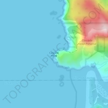
Name: Cascade Head topographic map, elevation, terrain.

Location: Cascade Head, Tillamook County, Oregon, United States (45.05121 -124.01753 45.05131 -124.01743)

Average elevation: 164 ft

Minimum elevation: -23 ft

Maximum elevation: 1,276 ft

Tillamook County trails, hiking, mountain biking, running and outdoor activities

Other topographic maps

Click on a map to view its topography, its elevation and its terrain.

Nehalem Bay

United States > Oregon > Tillamook County

Average elevation: 108 ft

Neahkahnie Beach

United States > Oregon > Tillamook County

Average elevation: 331 ft

Seal Rock

United States > Oregon > Tillamook County > Oceanside

Average elevation: 36 ft

Beaver

United States > Oregon > Tillamook County > Beaver

Average elevation: 253 ft

Netarts

United States > Oregon > Tillamook County > Netarts

Average elevation: 115 ft

Cloverdale

United States > Oregon > Tillamook County > Cloverdale

Average elevation: 305 ft

Gear up for your next adventure:

🪶Fire Starter Kit - Reliable fire starter for survival and camping
🏕️Family Camping Gear - Essentials for group camping trips
🏫Relief Map Kits - Hands-on tools for teaching landforms and elevation
🔥Fast-Boil Camping Stoves - Efficient cooking systems for quick trail meals
🧥Waterproof Jacket for Hiking - Breathable and rugged rain jacket for outdoor excursions

As an Amazon Associate, this site earns from qualifying purchases at no extra cost to you.