
Devils Pulpit topographic map
Click on the map to display elevation.
About this map
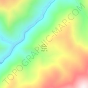
Name: Devils Pulpit topographic map, elevation, terrain.
Location: Devils Pulpit, Shoshone County, Idaho, United States (46.97041 -115.66298 46.97051 -115.66288)
Average elevation: 3,661 ft
Minimum elevation: 2,441 ft
Maximum elevation: 5,325 ft
Shoshone County trails, hiking, mountain biking, running and outdoor activities
Other topographic maps
Click on a map to view its topography, its elevation and its terrain.
Smelterville
United States > Idaho > Shoshone County
Smelterville is located at 47°32′34″N 116°10′45″W / 47.54278°N 116.17917°W / 47.54278; -116.17917 (47.542690, -116.179281), at an elevation of 2,234 feet (681 m) above sea level.
Average elevation: 2,434 ft
Pinehurst
United States > Idaho > Shoshone County
Pinehurst is located at 47°32′14″N 116°14′14″W / 47.53722°N 116.23722°W / 47.53722; -116.23722 (47.537193, -116.237085). at an elevation of 2,224 feet (678 m) above sea level.
Average elevation: 2,392 ft
Osburn
United States > Idaho > Shoshone County
Osburn is located at 47°30′23″N 116°0′20″W / 47.50639°N 116.00556°W / 47.50639; -116.00556 (47.506464, -116.005535), at an elevation of 2,520 feet (768 m) above sea level.
Average elevation: 3,064 ft