
东汝乡 topographic map
Interactive map
Click on the map to display elevation.
About this map
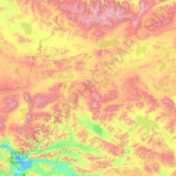
Name: 东汝乡 topographic map, elevation, terrain.
Location: 东汝乡, 日土县, 阿里地区, 西藏自治区, 中国 (33.48415 79.79671 35.45088 82.45823)
Average elevation: 17,208 ft
Minimum elevation: 13,907 ft
Maximum elevation: 23,002 ft
Other topographic maps
Click on a map to view its topography, its elevation and its terrain.