
日松乡 topographic map
Interactive map
Click on the map to display elevation.
About this map
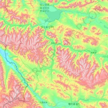
Name: 日松乡 topographic map, elevation, terrain.
Location: 日松乡, 日土县, 阿里地区, 西藏自治区, 中国 (32.53314 79.14320 33.60161 80.63072)
Average elevation: 16,056 ft
Minimum elevation: 13,625 ft
Maximum elevation: 20,512 ft
Other topographic maps
Click on a map to view its topography, its elevation and its terrain.