
日土镇 topographic map
Interactive map
Click on the map to display elevation.
About this map
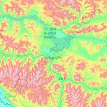
Name: 日土镇 topographic map, elevation, terrain.
Location: 日土镇, 日土县, 阿里地区, 西藏自治区, 中国 (33.08191 78.69623 33.75299 79.83335)
Average elevation: 16,115 ft
Minimum elevation: 13,629 ft
Maximum elevation: 20,650 ft
Other topographic maps
Click on a map to view its topography, its elevation and its terrain.