

Ngororero topographic map
Click on the map to display elevation.
About this map
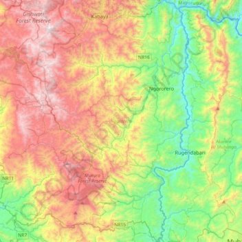
Name: Ngororero topographic map, elevation, terrain.
Location: Ngororero, Western Province, Rwanda (-2.08497 29.39892 -1.72193 29.67519)
Average elevation: 6,621 ft
Minimum elevation: 4,534 ft
Maximum elevation: 9,429 ft
Other topographic maps
Click on a map to view its topography, its elevation and its terrain.


