
Temple topographic map
Click on the map to display elevation.
About this map
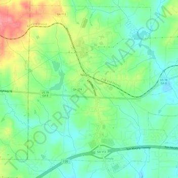
Name: Temple topographic map, elevation, terrain.
Location: Temple, Carroll County, Georgia, United States (33.71102 -85.05135 33.75553 -84.99462)
Average elevation: 1,135 ft
Minimum elevation: 1,030 ft
Maximum elevation: 1,329 ft
Carroll County trails, hiking, mountain biking, running and outdoor activities
Other topographic maps
Click on a map to view its topography, its elevation and its terrain.