
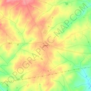
Lowell topographic map
Click on the map to display elevation.
About this map
Name: Lowell topographic map, elevation, terrain.
Location: Lowell, Carroll County, Georgia, United States (33.44650 -85.06494 33.48650 -85.02494)
Average elevation: 997 ft
Minimum elevation: 804 ft
Maximum elevation: 1,135 ft
Carroll County trails, hiking, mountain biking, running and outdoor activities
Other topographic maps
Click on a map to view its topography, its elevation and its terrain.