
黄沙铺镇 topographic map
Interactive map
Click on the map to display elevation.
About this map
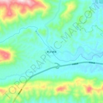
Name: 黄沙铺镇 topographic map, elevation, terrain.
Location: 黄沙铺镇, 咸宁市, 湖北省, 中国 (29.69548 114.64469 29.77548 114.72469)
Average elevation: 787 ft
Minimum elevation: 210 ft
Maximum elevation: 2,674 ft
Other topographic maps
Click on a map to view its topography, its elevation and its terrain.