
西凉湖 topographic map
Interactive map
Click on the map to display elevation.
About this map
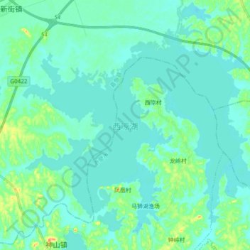
Name: 西凉湖 topographic map, elevation, terrain.
Location: 西凉湖, 咸宁市, 湖北省, 中国 (29.90175 114.00050 30.00350 114.15150)
Average elevation: 79 ft
Minimum elevation: 49 ft
Maximum elevation: 230 ft
Other topographic maps
Click on a map to view its topography, its elevation and its terrain.