
Westerose topographic map
Click on the map to display elevation.
About this map
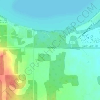
Name: Westerose topographic map, elevation, terrain.
Location: Westerose, Division No. 11, Alberta, T0C 2V0, Canada (52.94906 -114.00447 52.96906 -113.98447)
Average elevation: 2,822 ft
Minimum elevation: 2,772 ft
Maximum elevation: 2,946 ft
Other topographic maps
Click on a map to view its topography, its elevation and its terrain.
Louise McKinney Riverfront Park
Canada > Alberta > Division No. 11 > Edmonton
Average elevation: 2,123 ft