Geolocate

Sidney topographic map

Click on the map to display elevation.

About this map

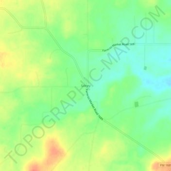
Name: Sidney topographic map, elevation, terrain.

Location: Sidney, Comanche County, Texas, 76474, United States (31.92931 -98.75727 31.96931 -98.71727)

Average elevation: 1,450 ft

Minimum elevation: 1,381 ft

Maximum elevation: 1,535 ft

Comanche County trails, hiking, mountain biking, running and outdoor activities

Other topographic maps

Click on a map to view its topography, its elevation and its terrain.

De Leon

United States > Texas > Comanche County

Average elevation: 1,309 ft

Comanche

United States > Texas > Comanche County

Average elevation: 1,394 ft

Gustine

United States > Texas > Comanche County

Average elevation: 1,158 ft

Gear up for your next adventure:

🧥Men's Rain Shells - Premium waterproof and breathable jackets for mountain weather
🪵Folding Camp Saw - Compact saw for wood and campsite work
🛶Inflatable Kayak - Portable kayak for rivers, lakes, and expeditions
🥘Titanium Cookware - Durable, featherlight pots and pans for backpacking
🧥Waterproof Jacket for Hiking - Breathable and rugged rain jacket for outdoor excursions

As an Amazon Associate, this site earns from qualifying purchases at no extra cost to you.