
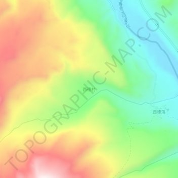
西德村 topographic map
Interactive map
Click on the map to display elevation.
About this map
Name: 西德村 topographic map, elevation, terrain.
Location: 西德村, 普兰镇, 普兰县, 阿里地区, 西藏自治区, 中国 (30.19712 81.16348 30.23712 81.20348)
Average elevation: 13,271 ft
Minimum elevation: 12,365 ft
Maximum elevation: 14,416 ft
Other topographic maps
Click on a map to view its topography, its elevation and its terrain.