Geolocate

Lumber Bridge topographic map

Click on the map to display elevation.

About this map

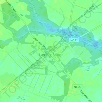
Name: Lumber Bridge topographic map, elevation, terrain.

Location: Lumber Bridge, Robeson County, North Carolina, 28357, United States (34.88378 -79.08329 34.89510 -79.06150)

Average elevation: 194 ft

Minimum elevation: 171 ft

Maximum elevation: 210 ft

Robeson County trails, hiking, mountain biking, running and outdoor activities

Other topographic maps

Click on a map to view its topography, its elevation and its terrain.

Phil

United States > North Carolina > Robeson County

Average elevation: 200 ft

Alma

United States > North Carolina > Robeson County

Average elevation: 187 ft

Gear up for your next adventure:

🗃️Trail First Aid Kit - Essential kit for outdoor injuries and emergencies
🛌Ultralight Sleeping Bags - Compact down bags for cold nights in the wilderness
🦶Hiking Gaiters - Keep debris and water out of your boots
🧭Orienteering Set - Complete compass and map reading kit
🚑Emergency Bivvies - Heat-reflective sleeping bags for survival situations

As an Amazon Associate, this site earns from qualifying purchases at no extra cost to you.