
山下吴 topographic map
Interactive map
Click on the map to display elevation.
About this map
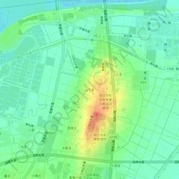
Name: 山下吴 topographic map, elevation, terrain.
Location: 山下吴, 晓店街道, 宿豫区, 宿迁市, 江苏省, 中国 (34.07646 118.30288 34.11646 118.34288)
Average elevation: 98 ft
Minimum elevation: 46 ft
Maximum elevation: 203 ft
Other topographic maps
Click on a map to view its topography, its elevation and its terrain.