
新沂河 topographic map
Interactive map
Click on the map to display elevation.
About this map
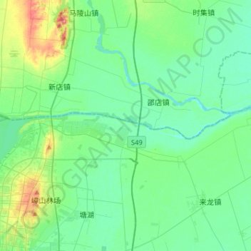
Name: 新沂河 topographic map, elevation, terrain.
Location: 新沂河, 宿豫区, Sùyù Qū, 宿迁市, 江苏省, 中国 (34.09786 118.25959 34.12032 118.51563)
Average elevation: 82 ft
Minimum elevation: 23 ft
Maximum elevation: 295 ft
Other topographic maps
Click on a map to view its topography, its elevation and its terrain.