
Vesta topographic map
Click on the map to display elevation.
About this map
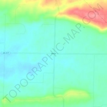
Name: Vesta topographic map, elevation, terrain.
Location: Vesta, Franklin County, Arkansas, United States (35.35926 -94.06187 35.39926 -94.02187)
Average elevation: 482 ft
Minimum elevation: 404 ft
Maximum elevation: 692 ft
Franklin County trails, hiking, mountain biking, running and outdoor activities
Other topographic maps
Click on a map to view its topography, its elevation and its terrain.
Wiederkehr Village
United States > Arkansas > Franklin County
Altus had its start in 1875 when the railroad was extended to that point. Altus station was the highest point on the track. In recognition of this highest railroad elevation between Little Rock and Fort Smith, the station was originally known as "Summit". The town's initial development was due to railroad…
Average elevation: 686 ft
Altus
United States > Arkansas > Franklin County
Altus had its start in 1875 when the railroad was extended to that point. Altus station was the highest point on the track. In recognition of this highest railroad elevation between Little Rock and Fort Smith, the station was originally known as "Summit". The town's initial development was due to railroad…
Average elevation: 630 ft