
Water Valley topographic map
Click on the map to display elevation.
About this map
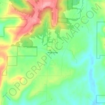
Name: Water Valley topographic map, elevation, terrain.
Location: Water Valley, Union County, Illinois, United States (37.53866 -89.19536 37.57866 -89.15536)
Average elevation: 636 ft
Minimum elevation: 469 ft
Maximum elevation: 889 ft
Union County trails, hiking, mountain biking, running and outdoor activities
Other topographic maps
Click on a map to view its topography, its elevation and its terrain.