
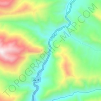
特尔苏里河 topographic map
Interactive map
Click on the map to display elevation.
About this map
Name: 特尔苏里河 topographic map, elevation, terrain.
Location: 特尔苏里河, 吉隆县, 日喀则市, 西藏自治区, 中国 (28.69991 85.27874 28.75564 85.30267)
Average elevation: 14,062 ft
Minimum elevation: 12,717 ft
Maximum elevation: 16,749 ft
Other topographic maps
Click on a map to view its topography, its elevation and its terrain.